This page hosts the YDNPA Re:Cover habitat network map and explains the information shown within it. The habitat mapping is based on Yorkshire Dales National Park Authority habitat survey data, and the habitat networks have been created through spatial analysis of that information.
The map allows you to view habitats recorded in a particular area and see how they connect to habitats on neighbouring land and across the wider landscape. It also includes habitat networks that highlight opportunities or potential to expand and connect habitats, helping to improve resilience for both wildlife and the habitats they depend on.
Access the Re:Cover map
Re:Cover map guidance
The map is intended to provide information only and therefore should not be used in isolation. There are many other factors which need to be considered when making land management decisions. We have created a Re:Cover guidance document to be used alongside the map. This document provides information on some of the limitations, descriptions of each layer, how to use the map and links to supporting documents.
It is also important to note Re:Cover does not replace the information provided on the Defra mapping website - MAGIC. For gant applications, the layers on MAGIC override any data provided here.
Re:Cover is designed to support decision-making, but should not be used as a replacement for field surveys.
Existing Habitat Layers
There are 17 priority habitats within the National Park and these have been divided into 9 habitat groups:
- Blanket bog
- Calaminarian grassland
- Calcareous grassland
- Limestone rock
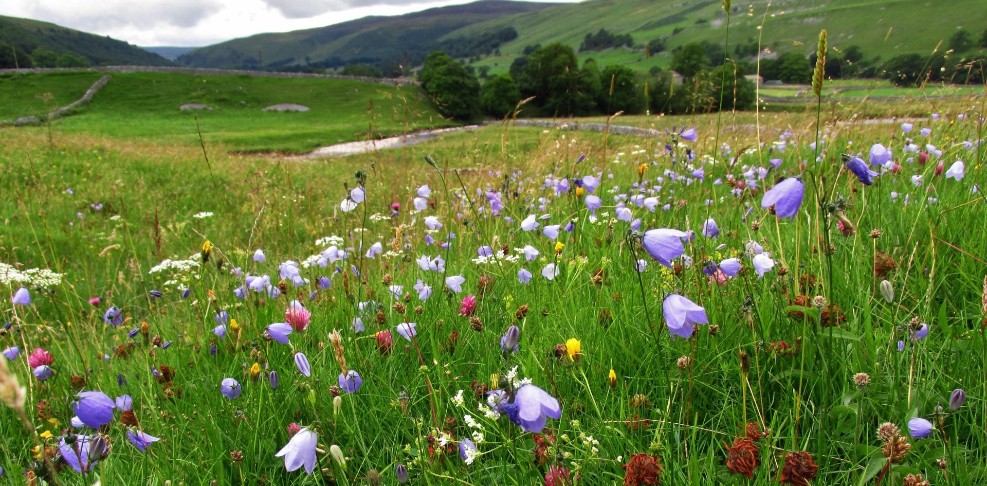
- Meadows & Species-rich grassland
- Purple Moor-grass & rush pasture
- Upland Heath
- Wetlands
- Woodlands
Habitat network layers
Many areas of land represented on the map are mosaics of different priority habitats and also include non-priority habitat. Therefore, one parcel of land may appear on more than one habitat layer. Due to this, a list of the different habitats surveyed for each individual parcel of land is available on the map.
We created the habitat networks from their corresponding existing habitat layer, excluding Limestone rock because this cannot be created only protected. Each network is based on existing ‘core habitat’ and shows the potential to expand or connect these in a ‘zone of opportunity’. Many of the networks overlap, and managing the land for a mosaic of habitats may be relevant for these areas as opposed to focusing on one over another.
View woodlands opportunities map
These layers have been created to indicate the likelihood for native woodland creation, including natural colonisation. Multiple datasets representing many of the constraints and opportunities considered when assessing woodland suitability were used to create these layers.
This map does not replace the full consultation process and is an indicative tool only.
Access to land
Anyone wishing to visit these areas should use Public Rights of Way and follow the rules that apply to Open Access land, unless they have permission from the landowner.
We hope you find Re:Cover useful. We are continually looking for ways to improve the map and the information it provides.
If you notice an issue or have suggestions for improvement, please email the Land Management Team.
Get in touch
We would like to thank the Northern Upland Chain Local Nature Partnership for its advice in developing the habitat networks. While there are some differences between the networks, they are compatible and help provide a broader picture beyond the National Park boundary.