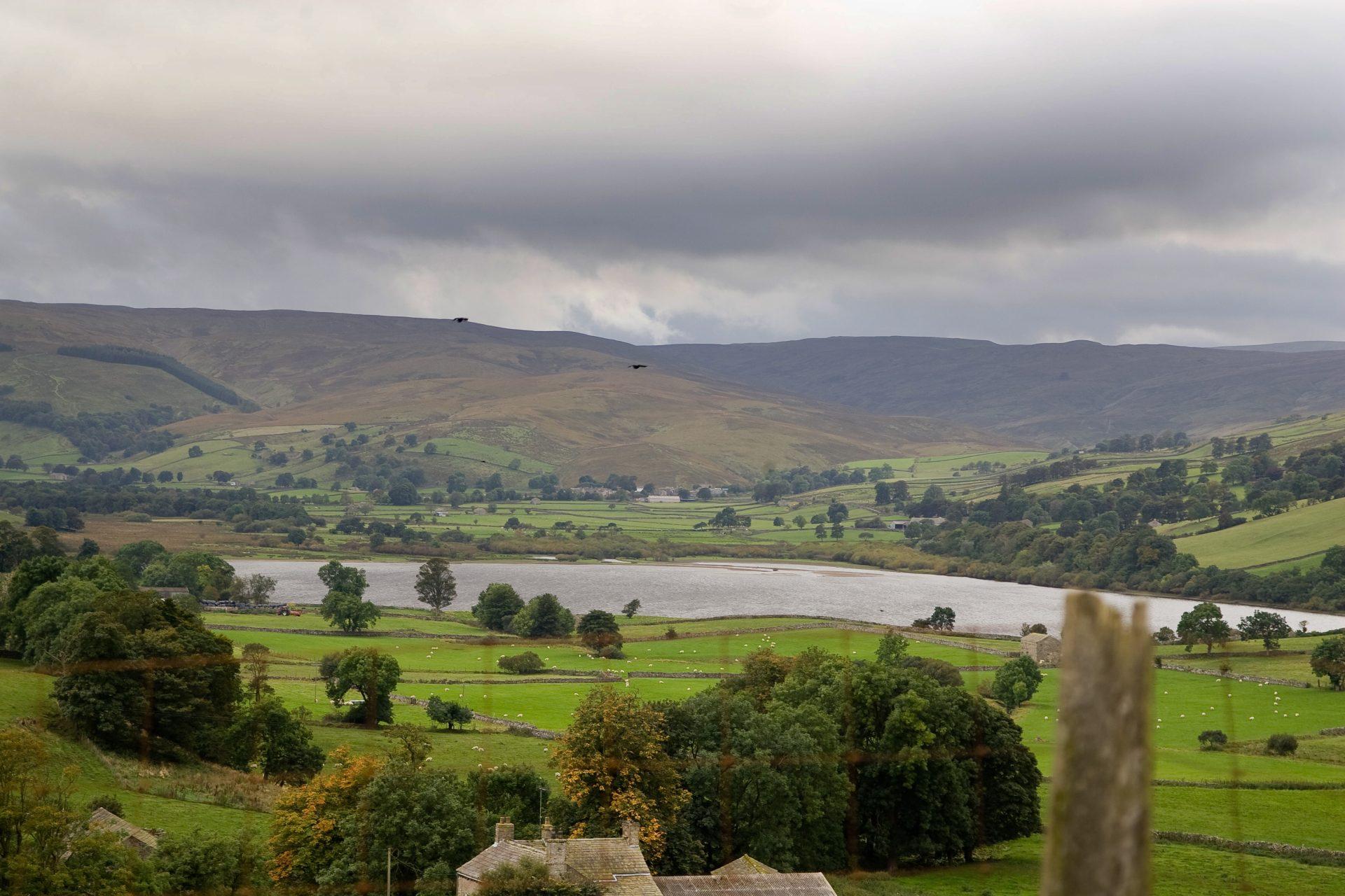
Semerwater SSSI
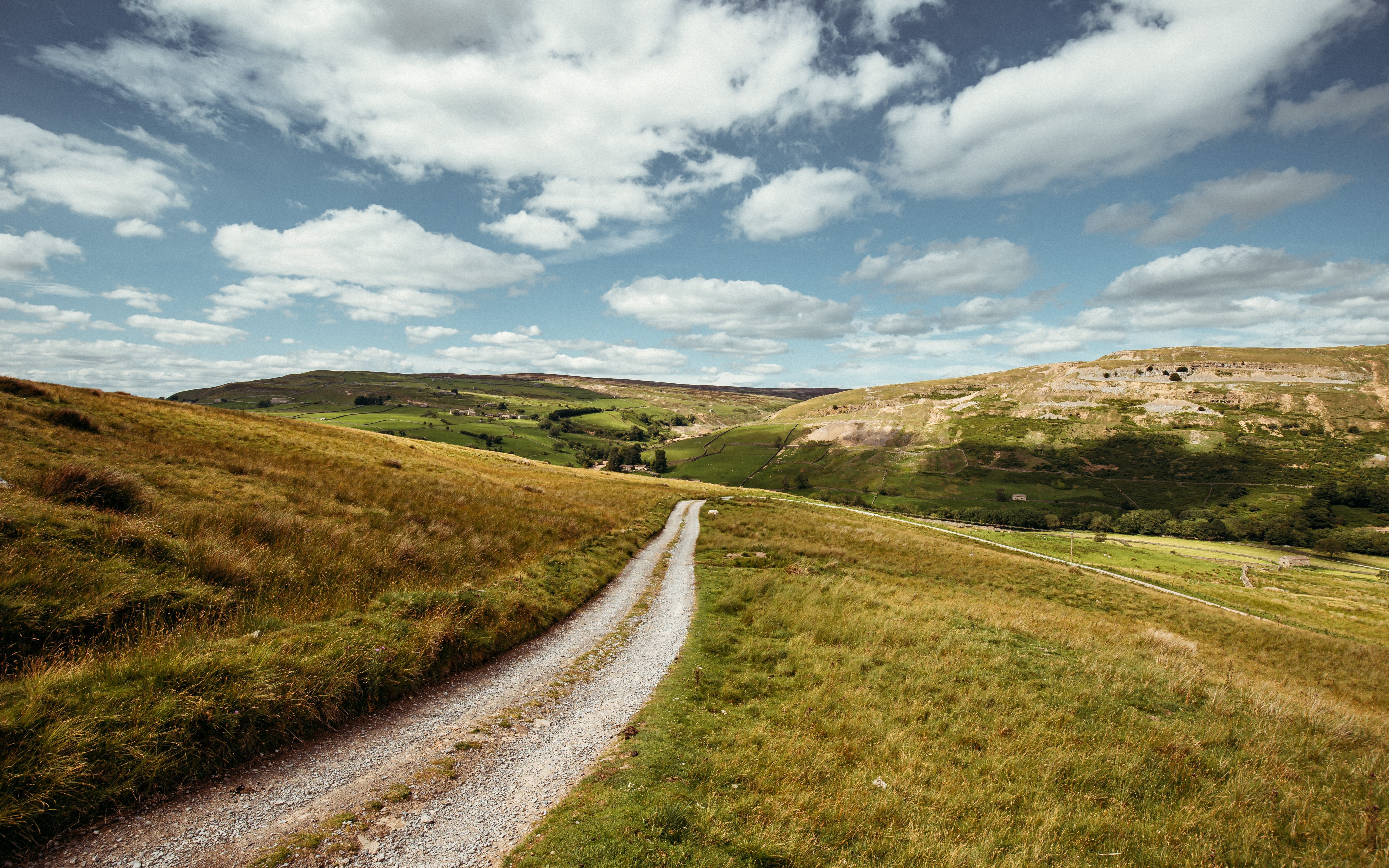
Semerwater – the second largest natural freshwater lake in the Dales – is a Site of Special Scientific Interest (SSSI), lying in an amazing location within the small valley of Raydale.
The SSSI covers 101.4 hectares and encompasses grasslands, fen, upland ash and yew woodland. It has historically been an inspiration for poets and artists such as JMW Turner.
For many years the Environment Agency (EA) and Natural England (NE) have been concerned about the levels of sediment and phosphate in the lake. Over the years, various organisations have undertaken research to try and work out what the main causes of these levels are, but no one has ever collated or looked at the results in a holistic way, and no definitive answer has ever been found.
The Semerwater Project, 2023-2025
In 2021 the National Park Authority and EA worked together to secure funding to be able to collate and holistically examine previous reseach findings, as well as commission a comprehensive set of surveys to get to the bottom of the problems within the lake.
The Semerwater Project ran from 2023 to Spring 2025, guided by a steering group of local farmers, freshwater specialists, the Environment Agency, Natural England and specialist teams within the National Park Authority.
An end of project meeting took place, open to all, which showcased project findings as well as recommendations for the healthy future of the lake and its surroundings.
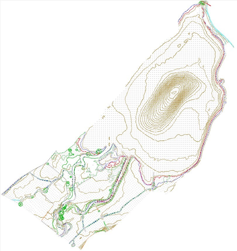
Bathymetric survey of Semerwater
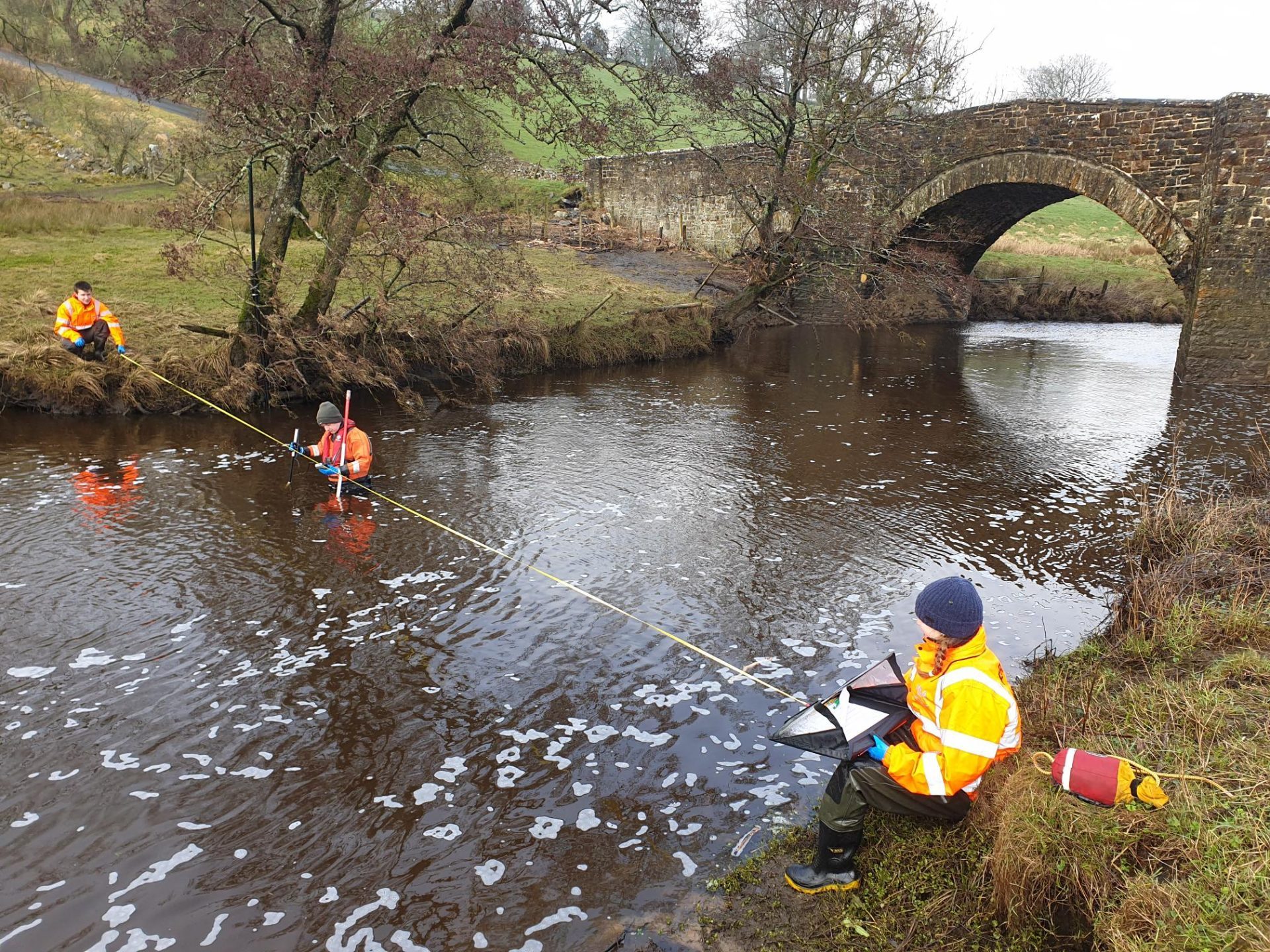
Semerwater surveying of the outflow stream. Credit: YDNPA
The Semerwater Data Repository
The Authority will hold a central repository for all data collected on Semerwater SSSI over the years, including that from The Semerwater project 2023-2025, which will be freely and publicly available.
Project Findings
Highlights of the findings included:
- A bathymetric survey found that the famous “hole” in the centre of the lake is 12 metres deep- this may be a historically collapsed sink hole which led to the formation of the lake.
- Aquatic plants are less abundant and diverse than 20 years ago.
- Much of the grassland around the lake is now marsh or bog and no longer species rich, compared with a 1986 survey.
- However, more species of mayfly, stonefly and caddisfly were found, compared with a 1979 survey.
- A colony of mudwort on the shores of the lake was said to be one the finest examples of this aquatic plant in the UK.
- A depth of three metres of sediment was found to have accumulated on the bedrock. When examined, these layers of sediment reflected the local history of lead mining, as well as periods of nuclear bomb testing, and the Chernobyl disaster.
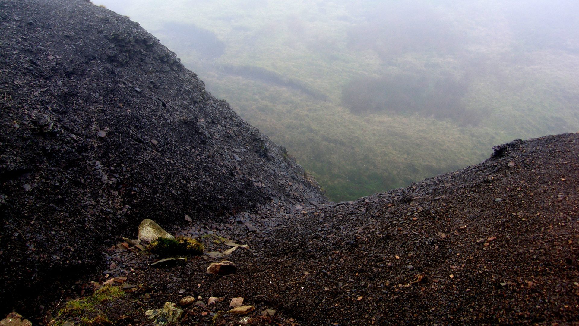
Grip enhanced erosion on Stags Fell. Credit: YDNPA
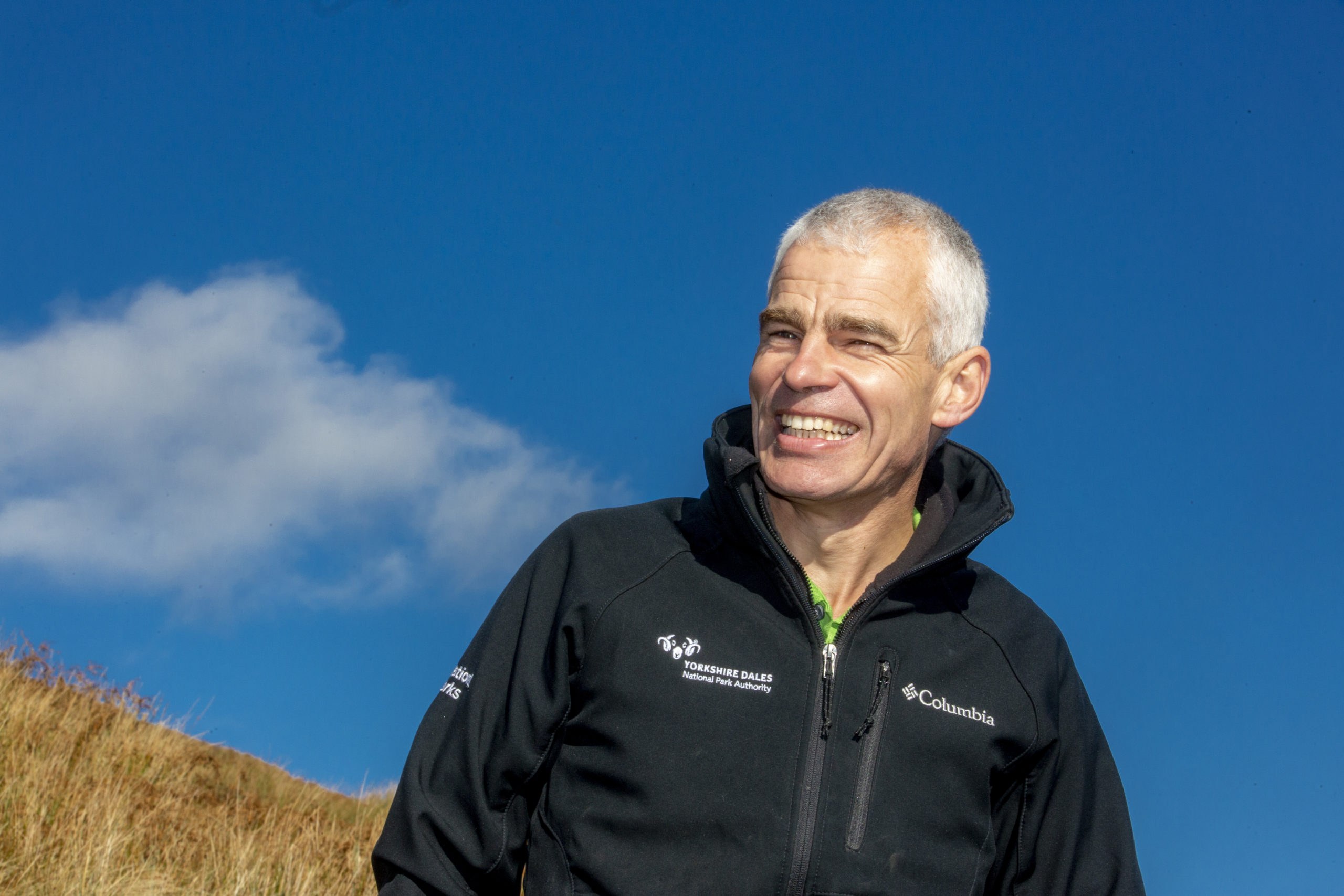
"Semerwater should be clear, with an abundance of plants. What the surveys have shown is that the brown water of today is the result of a whole range of factors, over a long period of time, with the erosion of peatland on the surrounding moors playing a significant part. One thing was made clear at the presentation day: it is not the fault of local farms that the water quality is the way it is.
We are confident that Semerwater can recover, regaining a favourable ecological status. The project has been a great example of how by working in partnership with others, we can collectively help nature to recover in the Dales."
Surveys included but were not limited to; nutrient and sediment budgets, a detailed look at the macrophytes (aquatic plants growing in or near water), invertebrates and fish populations, goose counts on the lake and the surrounding grasslands, and -importantly – local historic and cultural studies.
Get in touch
For more information about The Semerwater Project, or the development of follow-on project work, please get in touch with the Farming Team.