Most paths and access land in the Yorkshire Dales are open for people to enjoy, but occasional restrictions may be in place to protect sensitive habitats, support farming activities or ensure public safety. Check here for the latest access information before you visit.
Temporary closures
There are occasions when a public right of way may need to be temporarily closed for a period, for example to allow restoration works, or for reasons of public safety. These temporary closures are advertised in the local press covering the area of the closure and also on site. The period of closure and the alternative routes which are currently in force are indicated on the site notices and maps.
Current temporary closures
-
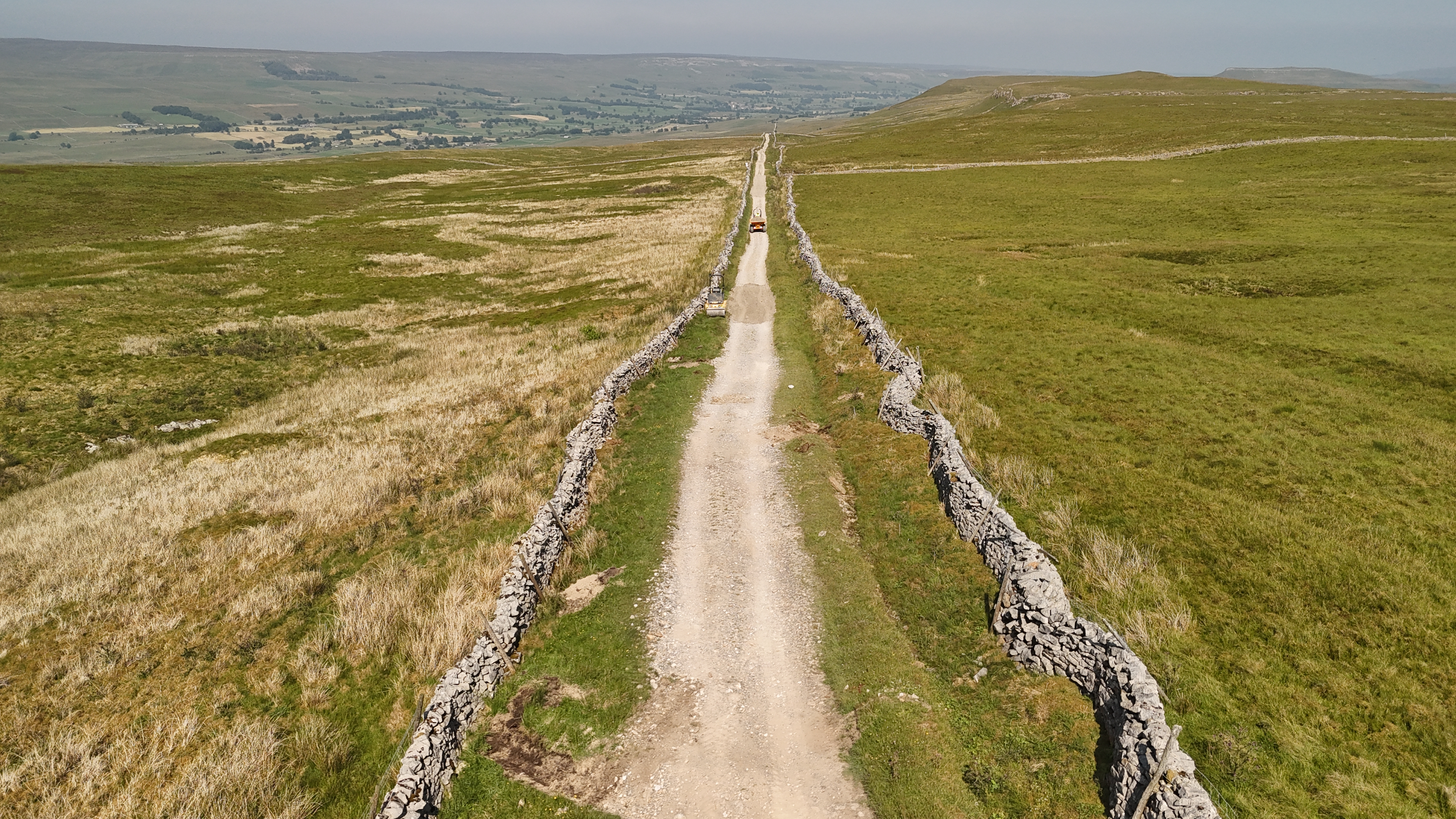
PDF version (357 KB) of Temporary Closure of Public Bridleway No. 52 (05.2/52) (part) Austwick. Road Traffic Regulation Act 1984 Section 14 (1) (as amended). Closure from 8 June 2026 to 8 December 2026 (opens in new tab) HTML version of Temporary Closure of Public Bridleway No. 52 (05.2/52) (part) Austwick. Road Traffic Regulation Act 1984 Section 14 (1) (as amended). Closure from 8 June 2026 to 8 December 2026This document contains an order from Yorkshire Dales National Park Authority (YDNPA) temporarily closing part of Bridleway No. 52 in Austwick. The 385-metre section will be closed to all traffic from 8 June to 8 December 2026, or until surfacing works finish, whichever comes first. The closure protects the public from work-related hazards. An alternative route through Clapham and Austwick is described and shown on a map.
Please be aware that this summary has been generated using AI
-
EXTENSION of Temporary Closure of Public Footpath Nos 509009 and 509023 in the Parish of Casterton (Temporary Prohibition of Pedestrians) Order 2025. Dated 19 March 2026 until 19 March 2027
-
PDF version (1.6 MB) of Temporary Closure of Public Footpath No. 6 (05.45/6) (part) Appletreewick. Road Traffic Regulation Act 1984 Section 14 (a) (as amended). Closure from 5 October 2026 to 4 April 2027 (opens in new tab) HTML version of Temporary Closure of Public Footpath No. 6 (05.45/6) (part) Appletreewick. Road Traffic Regulation Act 1984 Section 14 (a) (as amended). Closure from 5 October 2026 to 4 April 2027This document contains a legal notice from Yorkshire Dales National Park Authority (YDNPA) and a map showing the temporary closure of part of Footpath 6 in Appletreewick. The closure will run from 5 October 2026 to 4 April 2027, or until repair work at Simon’s Seat Farm cottage and barn is complete, whichever comes first, with a marked alternative route available.
Please be aware that this summary has been generated using AI
Fire risk on Open Access Land
In long periods of dry weather conditions on the moors and the risk of fire can become a concern. Fire risk warning notices are put up around the National Park in areas of high risk. Please take particular care when using access land, and in particular, avoid lighting fires or barbeques and do not discard cigarettes or matches. Moorland fires can spread very quickly and can be devastating to the landscape and its wildlife.
Weather conditions are constantly monitored by the Met Office and when the Fire Severity Index reaches ‘Exceptional’, its highest rating, it automatically triggers closures of Open Access Land. More information about the Fire Severity Index is available on the Natural England website .
If access land is closed due to fire risk, it means that walkers are asked only to use public rights of way (footpaths, bridleways and byways) and are not able to leave these routes and enjoy the access areas.
Access Land is divided up into land parcels and, as weather conditions can sometimes be very localised, not all Access Land may be closed at the same time. These restrictions may be enforced at short notice, so please check before you walk on the mapping provided by Natural England.
If you come across a fire while you are out and about, please dial 999 immediately and inform the fire service
Emergency closures
When public rights of way are found to be in a condition which is dangerous for the public, an emergency closure may be put into operation immediately on that section of route for a maximum of 21 days either to enable it to be put back into repair, or to make a temporary closure for a longer period. These closures are advertised on site. The period of closure and the alternative routes which are currently in force are indicated on the site notices and maps which will be linked to below.
Open Access land restrictions
For restrictions or closures of open access land, please take a look at Natural England’s mapping page.
Please note: Grouse shooting will take place on Barden Moor and Barden Fell from 12th August to 14th December. These areas will not be closed when shooting takes place, and therefore visitors are very welcome to walk there.
Learn more about countryside access
Permanent traffic regulation orders
There are a number of Traffic Regulation Orders (TROs) that are currently in place for the Yorkshire Dales National Park to restrict the use of recreational motor vehicles on ‘green lanes’.