- Start: Clapham
- Duration: 4 hours 30 mins
- Distance: 15.7km (9.7 miles)
- Difficulty: Challenge
Accessibility
This is a strenuous hill walk with steep ascents, rough tracks and fellside paths. The route includes rocky and uneven terrain and is not recommended in poor weather conditions. Suitable clothing, footwear and navigation skills are essential.
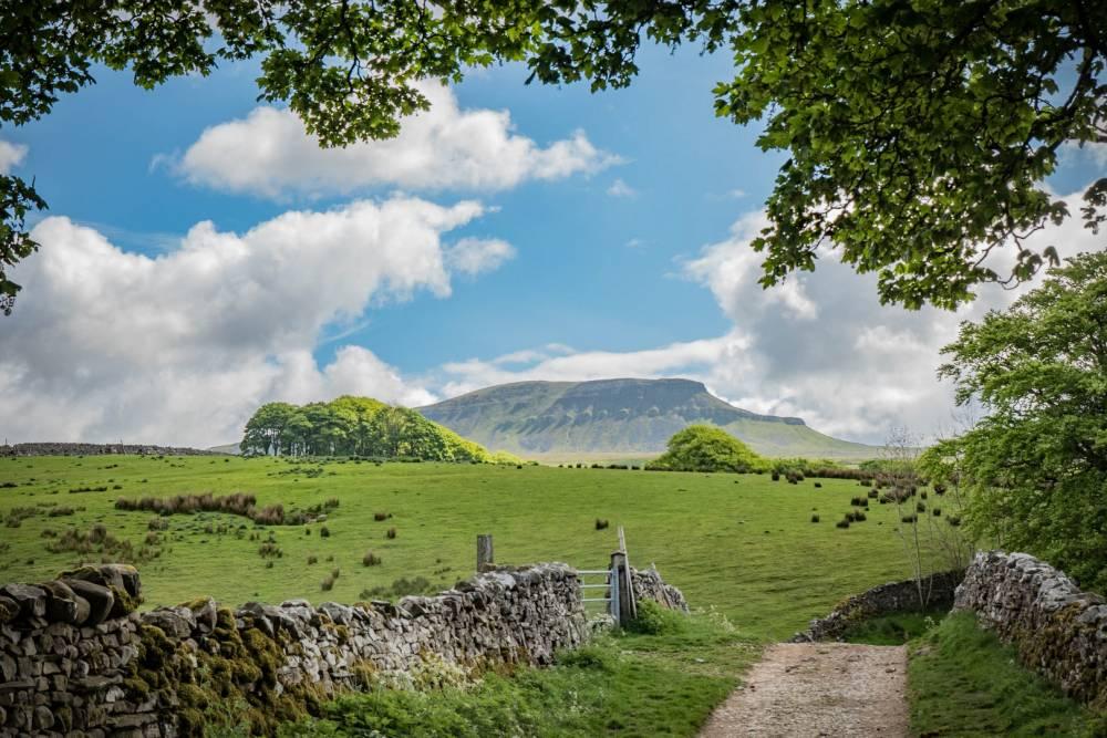
Follow the route shown on the map from Clapham to the summit of Ingleborough before returning to Clapham on a circular route.
Plan your walk
Parking
Parking is available at the National Park car park in Clapham.
Public transport
Clapham railway station on the Bentham Line is around 1¼ miles from the village centre.
Toilets
Public toilets are available at the National Park car park in Clapham.
Refreshments
A choice of cafés, pubs and shops is available in Clapham.
Closest National Park Centre
Malham National Park Visitor CentreWalking safety
Be prepared, carry the right equipment, and don’t rely solely on your mobile phone. Weather, routes and conditions can change.