- Start: Horton-in-Ribblesdale
- Duration: 3 hours 30 mins
- Distance: 12.4km (7.7 miles)
- Difficulty: Hard
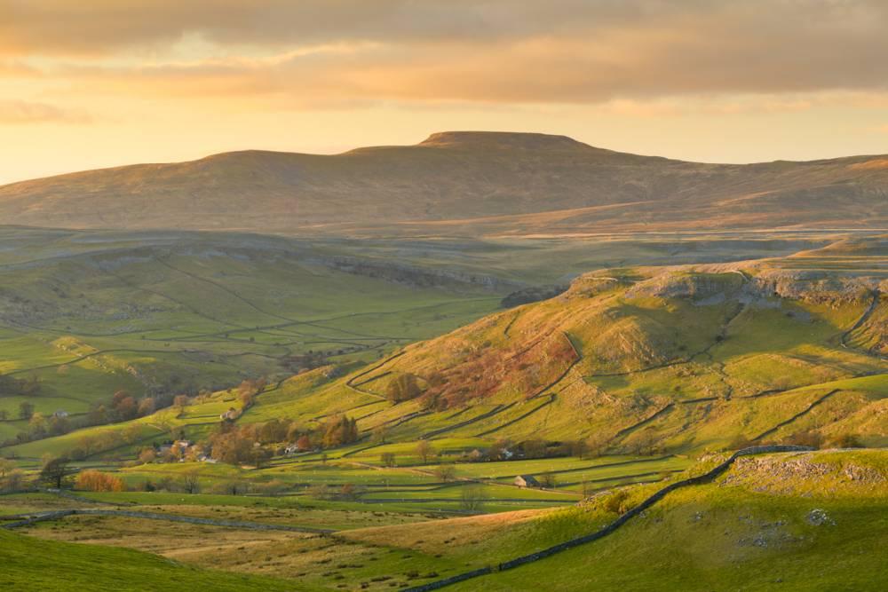
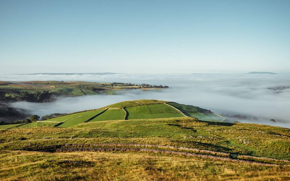
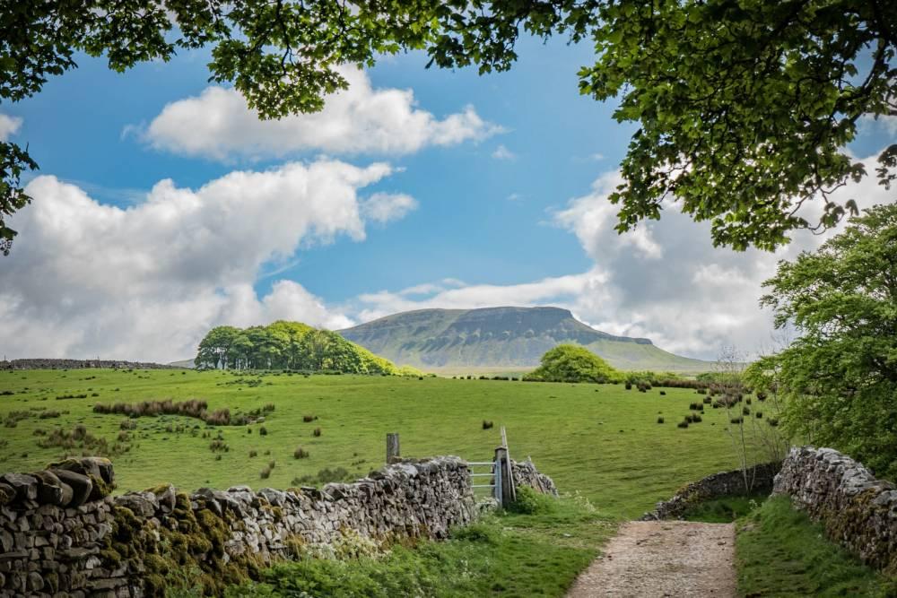
Use the Settle – Carlisle railway to view the expanse of Ribblesdale before walking the seven miles back to Settle. Walk through riverside pastures before ascending to higher limestone pastures with great views beyond the National Park boundary towards the Forest of Bowland.
Accessibility
Relatively easy walking on variable terrain. Part of this route follows the Ribble Way, which is well signposted.
- From the station, head along the road towards the village, turning right at the footbridge and down a few steps to the footpath following the River Ribble. (The Ribble Way). Continue along this for almost 1¼ miles to Cragghill Farm.
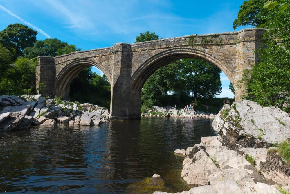
- Continue past the farm and through the fields beyond; initially on the riverside as it swings left, then crossing a large open field to a faint ridge and track which turns into an old walled lane at the gate. Follow this, under the railway and onto the surfaced road, which continues to a Tjunction at Helwith Bridge. Turn left past the pub and follow the road over the river bridge, until its junction with the main road (B6479).
- Turn left and follow the road until it swings left and an unsurfaced lane rises straight ahead. Follow this track to a junction. Turn right and continue for ½mile until you see a stile on the right. Cross the stile, following the Ribble way down through fields to Stainforth village.
- Continue ahead on tarmac, then turn left opposite the pub. At the T-junction turn right, then immediate left between the houses. Cross the stile into a field, continuing ahead through a gate in the top corner of the field. Follow the yellow marker posts to the obvious path up through the wood and beyond, to approach Lower Winskill Farm.
- Walk through the farm and up the lane, turning right at the signpost. Cross the fields and descend steeply through woodland before passing the old quarry. The path then turns into a lane which will lead you to the village of Langcliffe.
- At the end of the lane, turn right and walk along the road through the village, past the green and out to the main Horton road. Less than ten metres to your right, across the road, there is a gap stile with a narrow walled lane beyond. Follow it downhill, over the railway, and turn left at the next lane junction. Continue along the lane to its end and then turn right, past Watershed Mill and into Settle. Where the Horton road ends at a T junction, turn left to gain the town centre, and station beyond.
Plan your walk
Parking
There are several carparks located around Settle (BD24 9AA; SD8163).
Public transport
Leeds – Settle – Carlisle rail service from any point between Leeds and Carlisle. Alight at Horton-in-Ribblesdale station.
Toilets
Toilet facilities are available in both Horton and Settle.
Refreshments
There are tea rooms, shops and pubs in both Horton and Settle (Horton village centre is ½ mile from the station).
Closest National Park Centre
Malham National Park Visitor CentreWalking safety
Be prepared, carry the right equipment, and don’t rely solely on your mobile phone. Weather, routes and conditions can change.