The Yorkshire Three Peaks Challenge: Ingleborough’s Sensitive Summit
Thursday 27 August, 2020

By
Lily Mulvey
Lily is the Authority's Historic Environment Apprentice
More from
Lily Mulvey
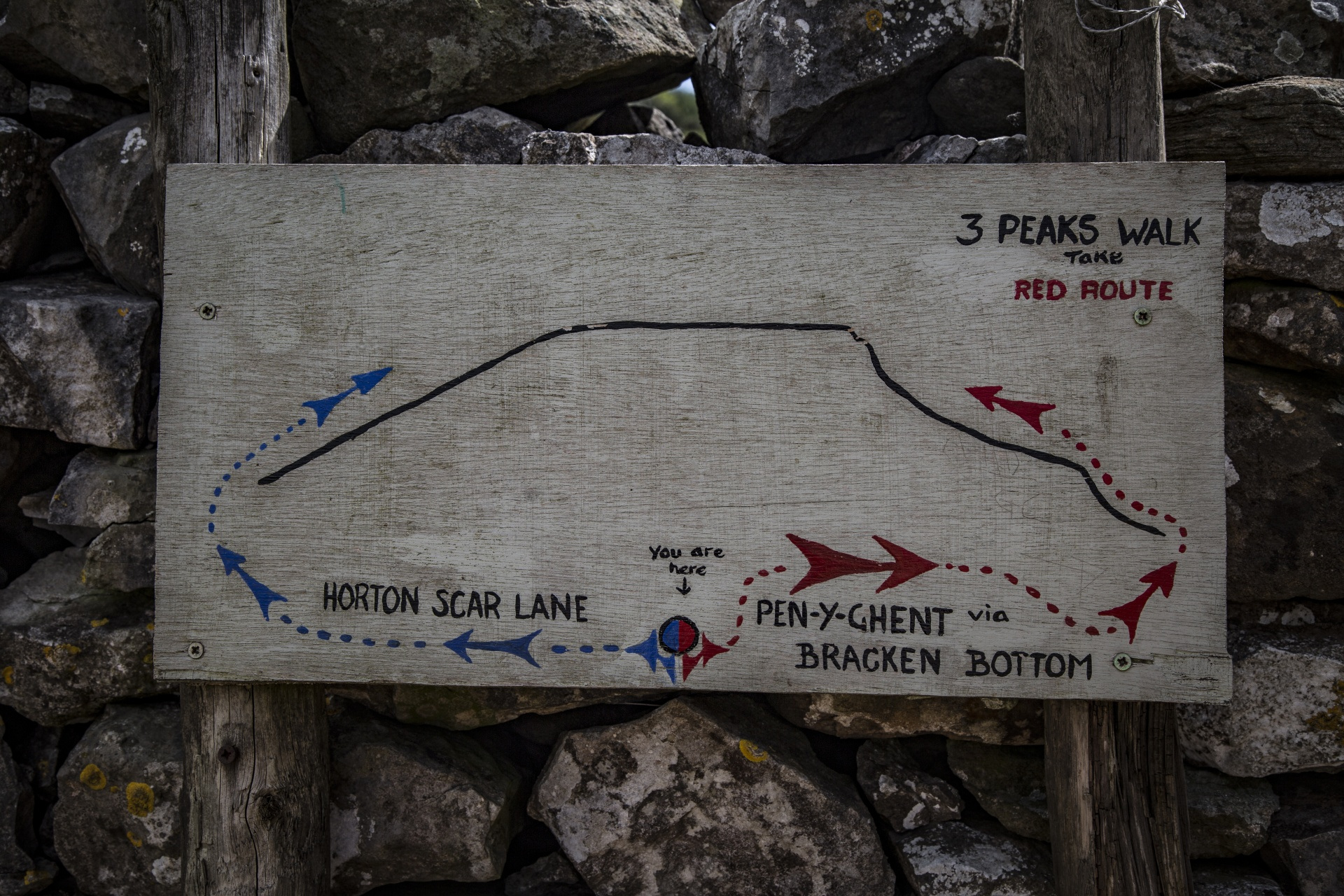
Image in the public domain subject to creative commons licence.
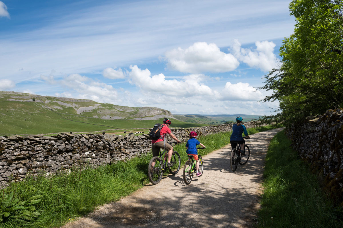
Every year thousands of people take part in the Yorkshire Three Peaks challenge. This involves a circular walk of some 38.6 kilometres, including 1585 metres of ascent up Whernside, Ingleborough and Pen-y-ghent. As if this wasn’t hard enough, those who take part are challenged to complete the walk in under 12 hours. The route rewards the walker with some breath-taking vistas (and some very sore legs!), but before you embark on the challenge, there are some very important things you need to know about the second highest peak, Ingleborough.
Though not the tallest of the mountains (Whernside pips it to the post at 736 metres to Ingleborough’s 723 metres), Ingleborough is certainly the most visually commanding of the three. It also boasts another important feature: “Britain’s highest hillfort” – or does it?
Britain’s Highest Hillfort?
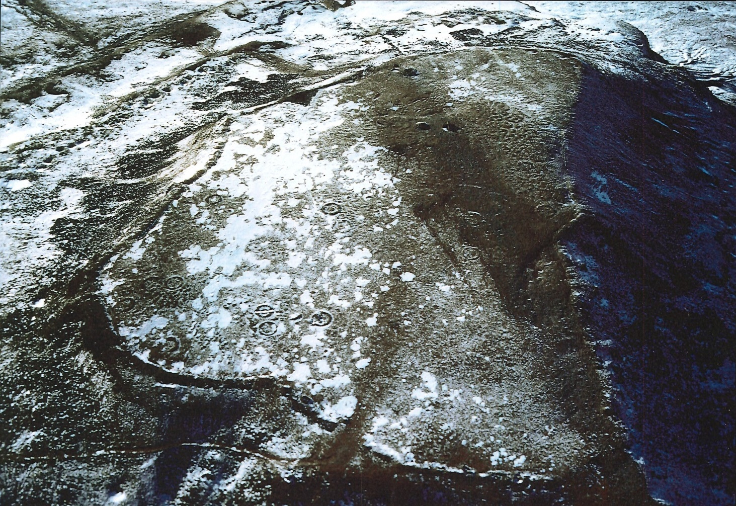
For many years, archaeologists have been talking about the “Iron Age hillfort” at Ingleborough’s summit. The feature is even scheduled by Historic England as a “large univallate hillfort”. It is recorded that 20 roundhouse remains are situated on a plateau of approximately 16 acres and encircled by the remains of a broken stone rampart almost 1000 metres long.
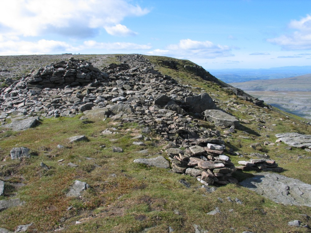
It has been theorised that the settlement was a defensive structure that belonged to the Brigantes, a tribe of Celtic people who once controlled a large section of northern Britain. The location of the settlement goes some way to support this theory. Being on the top of one of the highest mountains for miles around would certainly have afforded a great degree of protection, not to mention the possibility that Ingleborough was situated on a tribal boundary, which fits in with what historians know about the placement and uses of so-called hillforts. The huge rampart would have affected significant shelter from the strong winds at the summit which, although cold now, would have been more comfortable during the milder climate that Britain enjoyed when the site was occupied.
However, recent work has begun to reassess these interpretations. For one thing, although the climate was milder back then, it is hard to believe that it could have been so mild as to allow human habitation at over 700 metres above sea level. There have been suggestions that the site was only inhabited during summer months, but even then the weather – especially at night – would have been bitingly cold. And there is no evidence that the enclosing wall was built at the same time as the “huts” that stand within it.
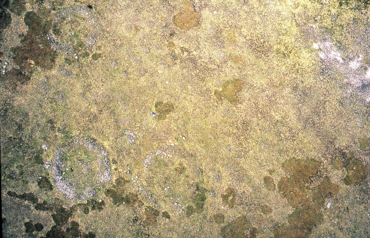
Not to mention the difficulty of getting supplies up to the summit, especially in bad weather. Though historically there has been a spring some 50 feet below the site, it would not have been protected by the “rampart”, which surely defeats the purpose of a defensive structure.
Further, the small number of circles within such a large enclosure is evidence against the idea that an entire tribe could have been housed within it – as does the complete lack of any evidence for hearths on which to cook food or keep warm. And although there is significant recorded evidence of human habitation further down the slopes of the mountain, no evidential link has been found between the sites as of yet.
An Alternative Theory
So – if the site was not a hillfort, what was it? Recent work has suggested that the circular features seen in the images are not hut circles but structures that are known as “ring cairns”. Ring cairns were features of the prehistoric ritual landscape. They were circular banks of earth and stone empty in the centre occasionally (but by no means always) housing a burial inside.
If the features are indeed ring cairns, this would mean that the site on Ingleborough was of ritual use. Certainly, such a prominent feature in the local landscape would have drawn the attention of people for miles around, making it the perfect spot for such an important site. It is also important to consider the fact that the ring structures may not be the earliest features on the site – activity on the site may date back to the Neolithic period.
Threat
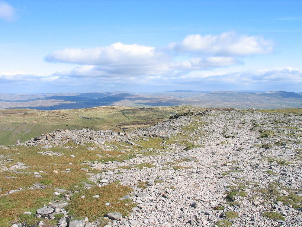
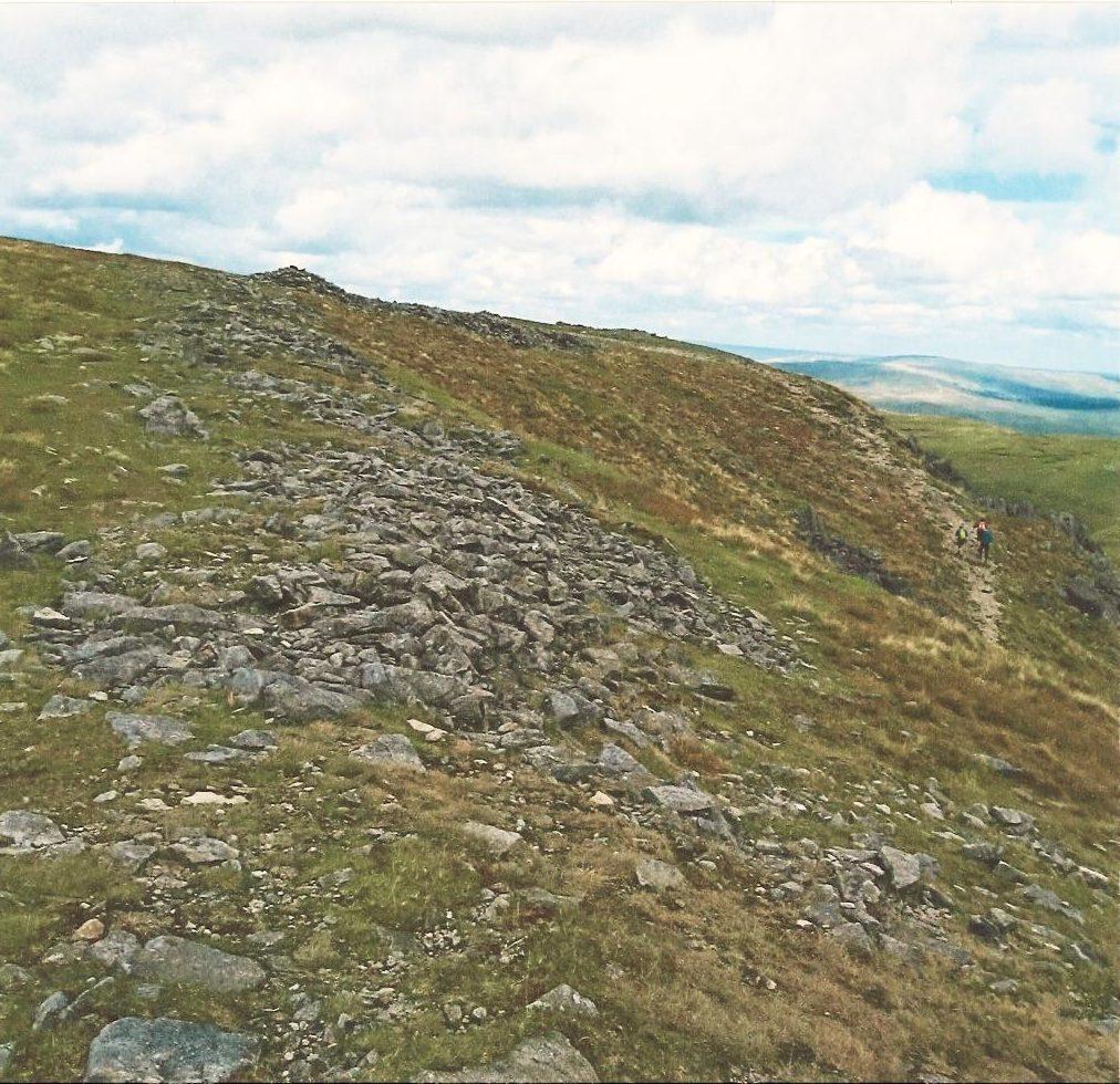
So even if the site on Ingleborough is not actually a hillfort, it is still vitally important to British heritage. Unfortunately, the site is under serious threat. One of the biggest threats comes from visitor erosion, something which has increased in recent years. As you can see in the picture of the site above, the thin vegetation is being gradually worn away by heavy foot traffic.
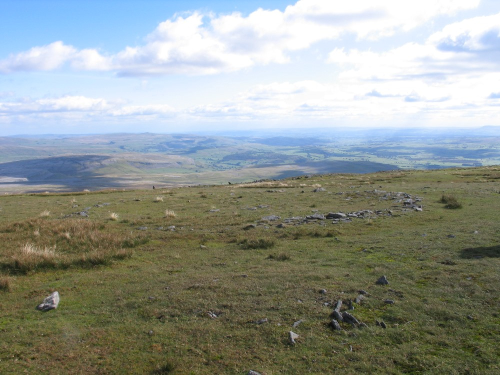
But perhaps the most significant threat comes from visitors to the site physically disturbing the archaeology. These days it is common to build what are known as “modern” or “walkers’ cairns” – essentially the piling up of stones at the summit of the mountain in order to celebrate a successful climb. Some people may also spell out their names for a good picture opportunity.
While this is all good fun, people may not realise that the stones they are using come from monuments that are thousands of years old! On a much smaller scale, it is like picking up and rearranging the standing stones of Stonehenge! Some of the circles have clearly been damaged by this activity, and it is important that the practice is ended if we are to have any chance of preserving this important site.
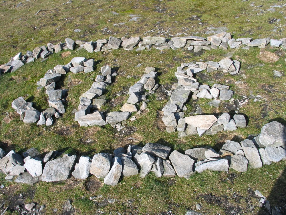
So if you – or someone you know – are thinking about taking part in the Three Peaks Challenge (or simply making the climb up Ingleborough) please be aware of the sensitivity of the site. By all means feel free to explore this incredible monument, but please don’t disturb the stones!
Further reading
Luke, Yvonne, Rethinking Ingleborough (MA Thesis, 2003).