Proposed active travel routes in the Yorkshire Dales
Friday 24 October, 2025
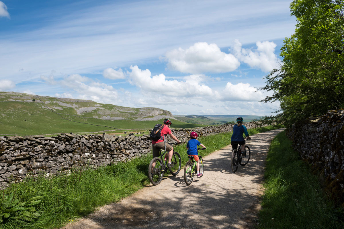
Cycling and mountain biking around Clapham and Austwick Credit: Paul Harris
By Tabby McNicholas More from Tabby McNicholas
The Yorkshire Dales National Park Authority has approved its first Active Travel Plan, aimed at providing better opportunities for visitors and residents to actively travel into and around the National Park.
The 10-year plan, led by the National Park Authority’s Access & Recreation Team, and funded by a £100,000 grant from Active Travel England, will focus on creating new routes and adapting current routes for both recreational and everyday use.
The Plan was launched in July, following two public consultations, where over 500 residents and visitors had their say. The feedback identified key areas and opportunities for more varied travel options in the National Park, benefitting residents, children, wheelchair users, cyclists and horse riders. People were also invited to submit the active travel routes they would like to see developed via an interactive map. The information gathered will be used to inform future Active Travel projects when funding becomes available.
If realised, the aspirational Plan will deliver:
- A total of 21 multi-user routes including routes linking transport hubs with major destinations and service centres
- 7 local interventions, improving links to three Dales schools
- 3 town centre walking schemes
Active travel routes include utilising and upgrading the existing Public Right of Way network, designating quiet lanes, creating better highway crossings for pedestrians, and the creation of new multiuser routes.
The detail of the routes will now be co-developed with partners such as Lancashire, North Yorkshire and Westmorland & Furness councils alongside local communities and stakeholders, and we hope to bid for future funding to make travel on foot, wheels or horseback safer and more realistic option for all.
The Active Travel Plan includes three main types of routes:
- Multi User Routes: Long distance routes for walking, wheeling*, horse riding, and cycling. They may be on quiet lanes, along existing Public Rights of Way, or a new route may need to be created.
- Local Schemes: Smaller interventions such as short routes to schools and new road crossings.
- Walking Zones: 2-kilometre zones around a town or village centre where improvements can be made for walking.
*Wheeling includes mobility scooters, wheelchairs, pushchairs, and children’s non-motorised scooters.
The multi user routes have been grouped into five ‘corridors’ including Malhamdale and Wharfedale, Ribblesdale and Kirkby Lonsdale, Kirby Lonsdale to Tebay, Wensleydale into Westmorland, and Richmond, Swaledale and Kirby Stephen.
- Ribblesdale and Kirkby Lonsdale Corridor: This includes the routes Cracoe to Settle, Settle to Clapham, Clapham Station to Ingleton, Ribblesdale to Kirkby Lonsdale (via Ingleton), and Kirkby Lonsdale to Caton (Lancaster).
- Kirkby Lonsdale to Tebay Corridor: This includes the routes Kirkby Lonsdale to Tebay and Kirkby Stephen to Tebay.
- Wensleydale Corridor: Running between Sedbergh and Leyburn, separated into the sections Sedbergh to Dent, Sedbergh to Garsdale, Garsdale to Hawes, Hawes to Aysgarth, Aysgarth to Leyburn.
- Richmond Corridor: Richmond to Grinton
The local interventions proposed in the plan include:
- A new route from Aysgarth to Castle Bolton.
- Traffic free path from B6265 Station Road to the Threshfield Primary School.
- A new crossing on B6265 Hebden Road, Grassington for Grassington Primary School.
- A new route from Malham to Kirkby Malham School.
- A new path and traffic calming on Grassington Road and Brackenley Lane, Skipton.
- A new crossing on A65 Mainstreet, Long Preston for a Pennine Bridleway link.
- Path resurfacing on Austwick Bridleway
The three proposed walking zones are:
- Grassington & Threshfield
- Hawes
- Sedbergh
Access & Recreation Project Manager Rob Ashford said: “We want to reduce people’s reliance on cars to get into and around the National Park, provide safer walking routes for schoolchildren and families, and give mobility users smoother, better-connected journeys.
“The Yorkshire Dales are remote, and public transport isn’t always viable, so often travelling by car is the only option. We hope the new active travel routes will encourage residents and visitors to leave their cars and get out in nature. Something which will not only benefit people’s physical and mental health but also help to reduce carbon emissions. “Allowing people to have their say on which routes are needed was essential, and we hope the proposed routes will make a real difference to those who use them.”
Yorkshire Dales National Park Authority Member Champion for Recreation Management Lizzie Bushby said: “This Plan makes active travel a viable option for everyone, whether you’re a parent with a pushchair, a wheelchair user, or someone who loves being active. It’s about creating routes that are safe, scenic and inclusive to all. The same footpath or bridleway might serve as a school run one day and a route for a walking holiday the next. That’s what makes it so exciting.”