- Start: Ribblesdale
- Duration: 12 hours
- Distance: 38.6km (24 miles)
- Difficulty: Challenge
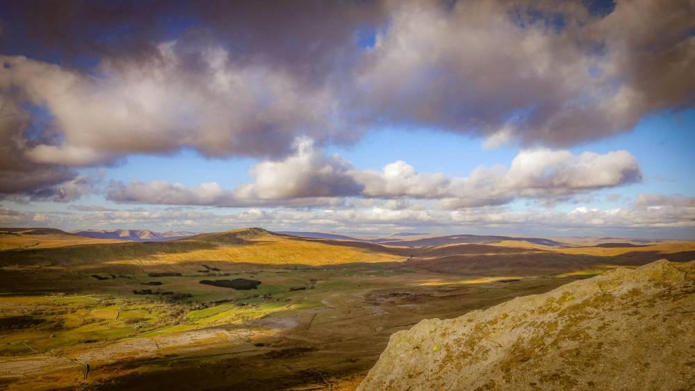
A route to the summit of Ingleborough from Clapham taking in some fantastic limestone scenery – the caves of Ingleborough, Gaping Gill and the impressive Trow Gill. A rewarding walk for those prepared for a full day in the hills.
Accessibility
The Yorkshire Three Peaks is a challenging route with steep climbs, rocky paths and remote sections. It is not considered an accessible walking route. Before setting out, make sure you have the fitness, equipment and experience needed to complete the walk safely. Weather can change rapidly, so carry suitable clothing, food, water and navigation equipment.
The Yorkshire Three Peaks is a 24-mile (38 km) circular route that takes in the summits of Pen-y-ghent, Whernside and Ingleborough. The route is waymarked in places, but walkers should carry an up-to-date map and compass and know how to use them. For detailed route information, planning advice and safety guidance, visit our Yorkshire Three Peaks pages.
Plan your walk
Parking
Pay and display parking is available at the National Park car park in Horton-in-Ribblesdale, the traditional starting point for the Yorkshire Three Peaks Walk. You can, however, start the walk at any point along the circular route, and the most popular alternative start point is from Ribblehead. Where you choose will be determined by how you are getting here or where you are staying.
Public transport
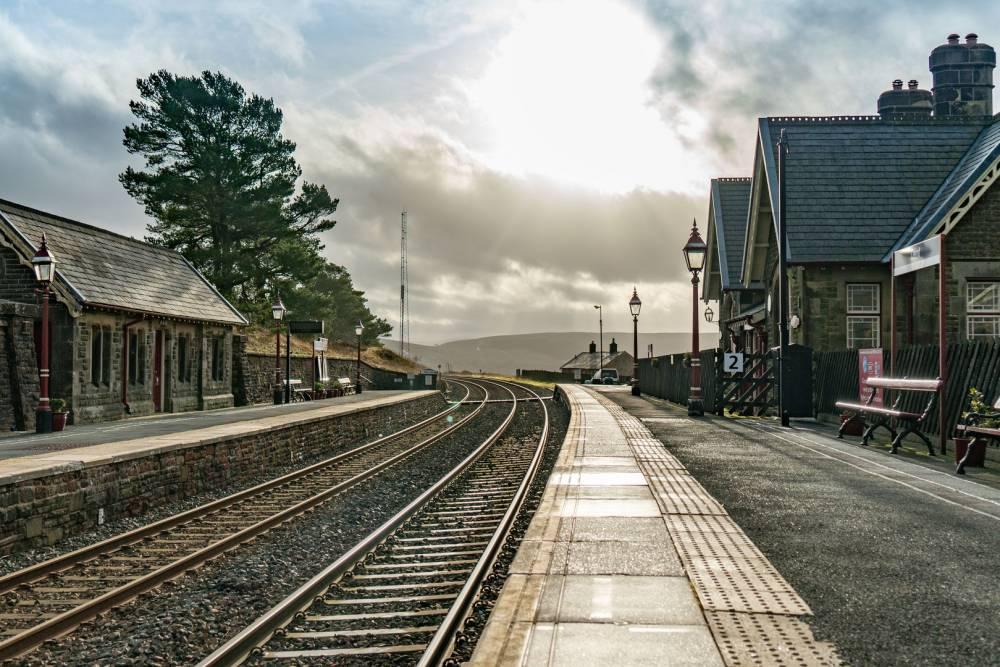
Horton-in-Ribblesdale railway station is a short walk from the start and is served by trains on the Settle-Carlisle line.
Toilets
Public toilets are available at the National Park car park in Horton-in-Ribblesdale. There are no public toilets along the route, so please plan ahead. Help keep the Yorkshire Three Peaks special by using toilet facilities where available, taking litter and tissues home, and avoiding damage to wildlife habitats and watercourses.
Refreshments
Pubs, cafés and shops can be found in Horton-in-Ribblesdale. Additional refreshments may be available at locations along the route, but opening times vary.
Closest National Park Centre
Hawes National Park Visitor CentreBefore you set out
The Yorkshire Three Peaks is a challenging 24-mile (38 km) route involving steep climbs, rough terrain and remote upland areas. Make sure you have suitable clothing, food, water and navigation equipment. Weather conditions can change rapidly, and mobile phone coverage may be limited.
Always carry a map and compass and know how to use them, even if you are using a GPS device or smartphone.
Looking for more information? Explore our Yorkshire Three Peaks pages for route details, planning advice, facilities, transport options and much more.