- Start: Crosby Ravensworth
- Duration: 4 hours
- Distance: 10.6km (6.6 miles)
- Difficulty: Hard
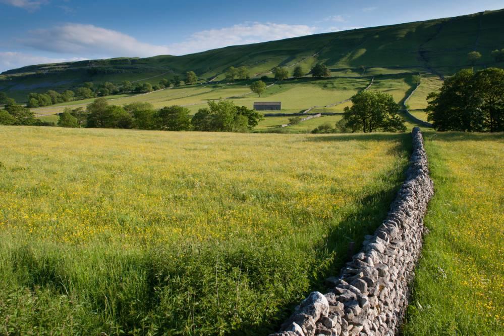
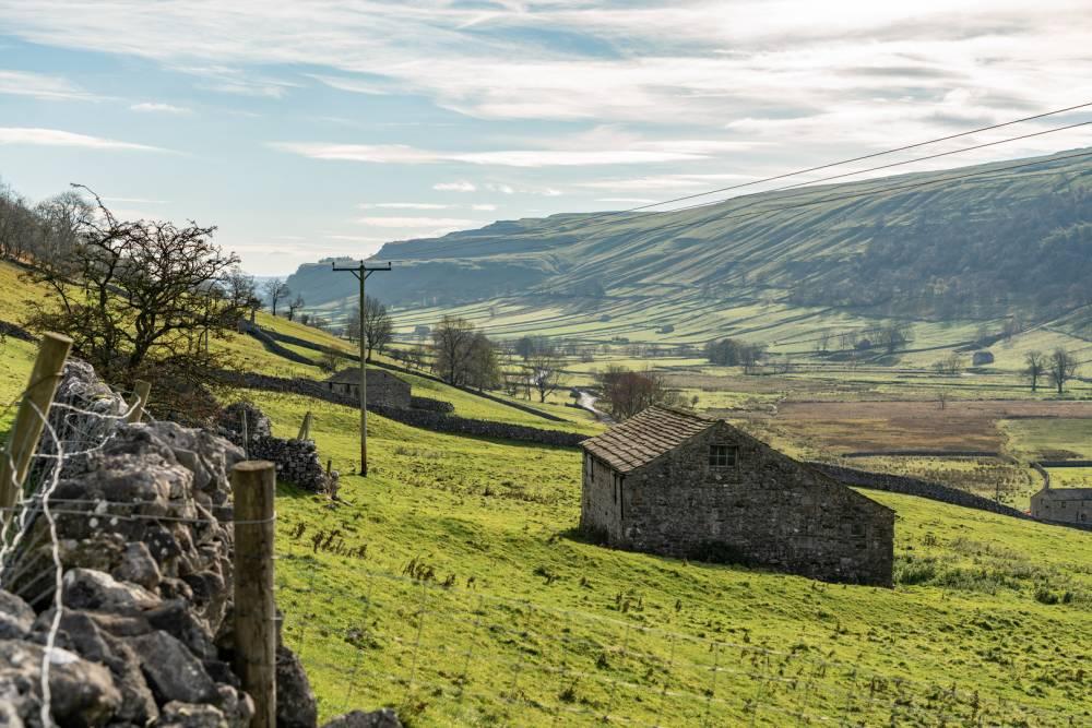
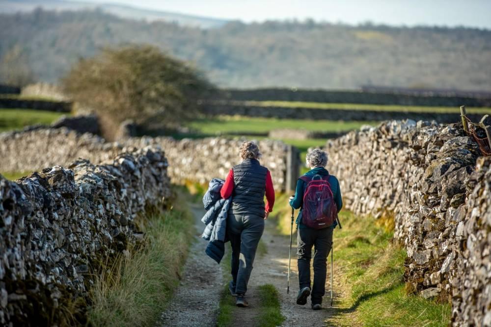
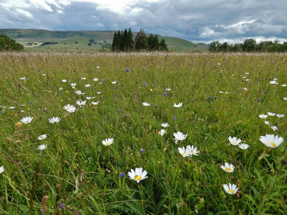
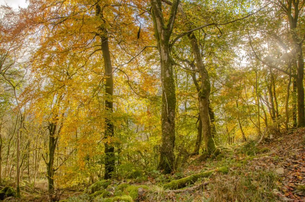
A beautifully varied walk from Crosby Ravensworth to the source of the Lyvennet, circling round Crosby Gill Site of Special Scientific Interest (SSSI). This is an area of calcareous (limestone) grassland with scattered birch and ash woodland. Numerous rare plants can be found including bird’s-eye primrose, grass-of-Parnassus and alpine bartsia. The walk can be extended to visit the King Charles II monument at Black Dub, the source of the river.
Accessibility
This route can be wet under foot in places. There is a gradual climb out onto Crosby Ravensworth Common where navigation can be tricky in poor conditions.
From the bus stop walk towards St. Lawrence’s church and look for a public footpath sign on your right for Holme Bridge. Go through two metal gates and follow the track, keeping the fence on your right.
When you reach the beck cross the stile on your right and then turn left following the fence and beck.
Turn left onto the road, cross Holme Bridge and immediately take the footpath on your right signed for Crosby Lodge. Follow the track, keeping the wall/fence on your right.
The path climbs slightly to a metal fence in a wall with a stone stile to the left; continue walking uphill keeping the old hedge line on your right.
The path is crossed by a stony track which goes through a metal gate with a footpath marker. Turn right onto this and follow the track down towards the river and another metal gate. Turn right and then go over the wooden footbridge across the River Lyvennet. Follow the winding track uphill.
After the track turns to the left you come to a fence and gate on your right. Turn left here and go straight across the field to the fence opposite where you turn left and head down to another footbridge across the Lyvennet.
Follow the path to the right, going diagonally uphill towards Crosby Lodge. Look for a tall pole marking the stone stile over the wall. Carry on diagonally to a wooden gate in the corner below a large sycamore tree.
Join the track coming in from the left and cross the field.
Keep following the track until you reach a signpost where the footpath divides; take the right-hand fork following the track downhill a little way and then climbing again as it becomes a grass path, until you reach a wooden gate in a stone wall.
Turn right and follow the deer park wall as it skirts around the top of Crosby Gill nature reserve. If you look over the wall where it turns left you will see the King’s Well. Keep following the wall round to the right.
Where the wall takes another sharp right hand turn take the grassy track cutting diagonally across the common heading towards Wicker Street cairn in a north westerly direction. There is large boulder below the cairn - aim for this.
The path crosses the Lyvennet (now just a narrow stream) below the boulder to climb a grassy bank. As the path turns to the right just above the stream look for a narrow grassy track climbing slightly on your left. This is the route to the King’s Monument, a diversion of about ¾ mile there and back, and well worth the exploration on a clear day. In poor conditions the track, and the monument, can be hard to find.
To find the monument follow the track uphill towards three boulders to avoid a boggy section. Then drop down to a track closer to the stream and follow this to the source of the river. The path meanders and peters out in places but if you head south and keep the river within sight on your left you will come to the monument next to two pools which are the source of the Lyvennet.
Carry on up the grassy path passing the two large erratic boulders and continue up towards the cairn. About 150 metres before the cairn, and just before a stone shelter, the path is crossed by another track. Take the right hand track.
Follow this track which gradually drops downhill towards the deer park wall and a large ash tree. The views north to the lower Lyvennet Valley and the Pennines are magnificent on a clear day. Shortly after you cross the Blea Beck, close to the ash tree, you may make out some mounds and bumps on your left.
Continue along the track until you cross a cattle grid and when you reach the road turn left and follow this back to your car passing the Butcher’s Arms pub and before that one of Cumbria’s Andy Goldsworthy pinfolds on your right.
Plan your walk
Parking
There is a small parking area in Crosby Ravensworth opposite the village hall between the telephone box and the bus shelter.
Toilets
Toilets can be found at the pub in Crosby Ravensworth.
Refreshments
There is a pub in Crosby Ravensworth.
Closest National Park Centre
Grassington National Park Visitor CentreWalking safety
Be prepared, carry the right equipment, and don’t rely solely on your mobile phone. Weather, routes and conditions can change.