The National Park Authority is required to undertake a range of monitoring and information gathering to meet legal requirements. This includes the following:
Annual Monitoring Report
To ensure effective delivery of our planning policies we produce an Annual Monitoring Report that outlines general development trends and planning policy issues in the National Park.
Infrastructure Funding Statement
The Community Infrastructure Levy Regulations (2019) require that all local planning authorities publish annually an Infrastructure Funding Statement annually. The Infrastructure Funding Statement provides a breakdown of Section 106 income and expenditure. It also sets out the types of infrastructure and projects we intend to support through Section 106 income over the next reporting period.
As part of these reporting requirements the Authority has to provide three separate CSV files in the format required by Government:
- Developer-agreement 2020/2025
- Developer-agreement-contribution 2020/2025
- Developer-agreement-transaction 2020/2025
Brownfield Land Register
Local planning authorities are required to prepare and maintain a register of previously developed land that:
- has an area of at least 0.25 hectares or is capable of supporting at least 5 dwellings
- is suitable for residential development
- is available for residential development
- is achievable for residential development
A user friendly version of the brownfield land register for the Yorkshire Dales National Park can be viewed here.
As part of these reporting requirements the Authority has to provide a CSV file in the format required by Government, which can be viewed here.
If you would like to find out more about brownfield land registers, please follow these links:
If you would like to find out more about the sites, or would like to suggest new sites or changes to the register, please contact our Planning Policy Team.
Local Plan Policies Maps
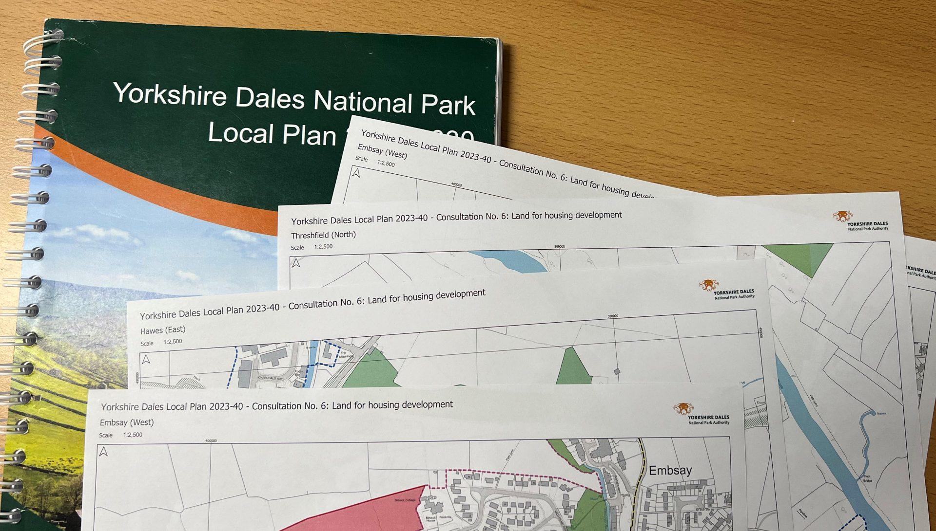
View the Local Plan policies maps which illustrate the various designations or land allocations referred to in the current Local Plan policies.
Read more about Local Plan Policies Maps