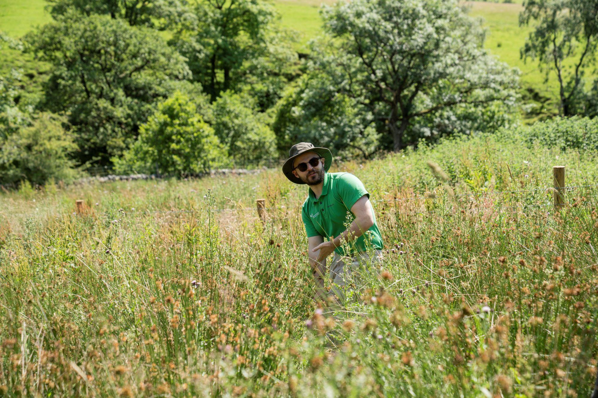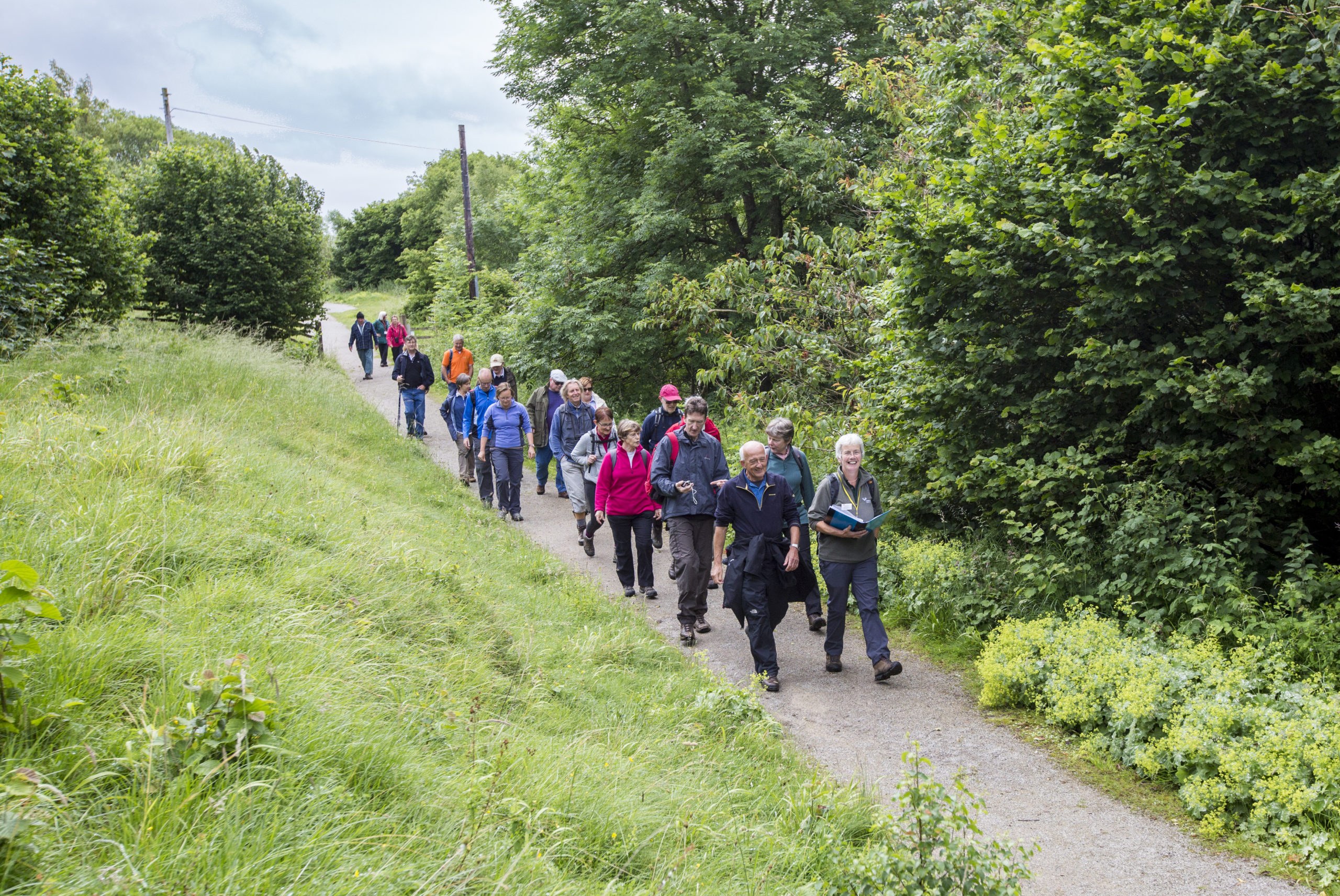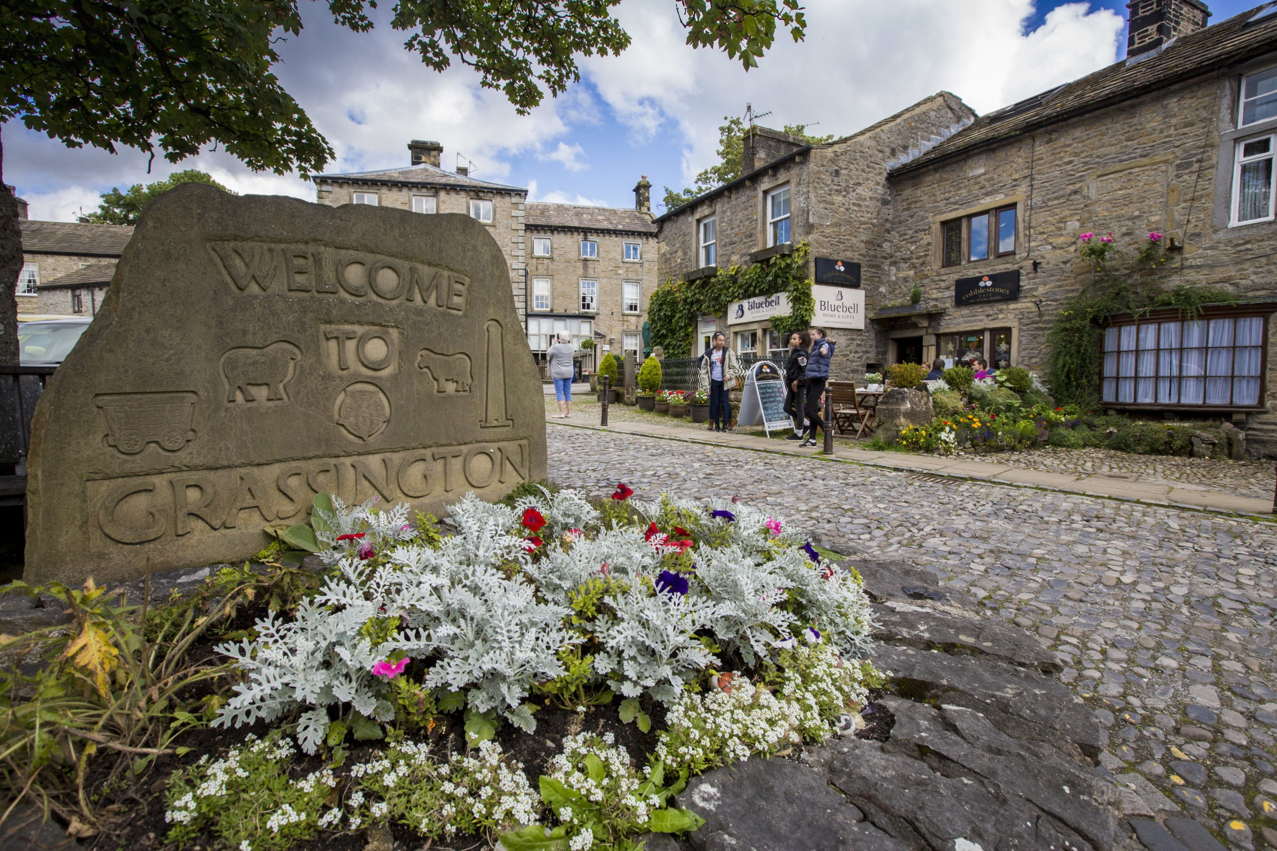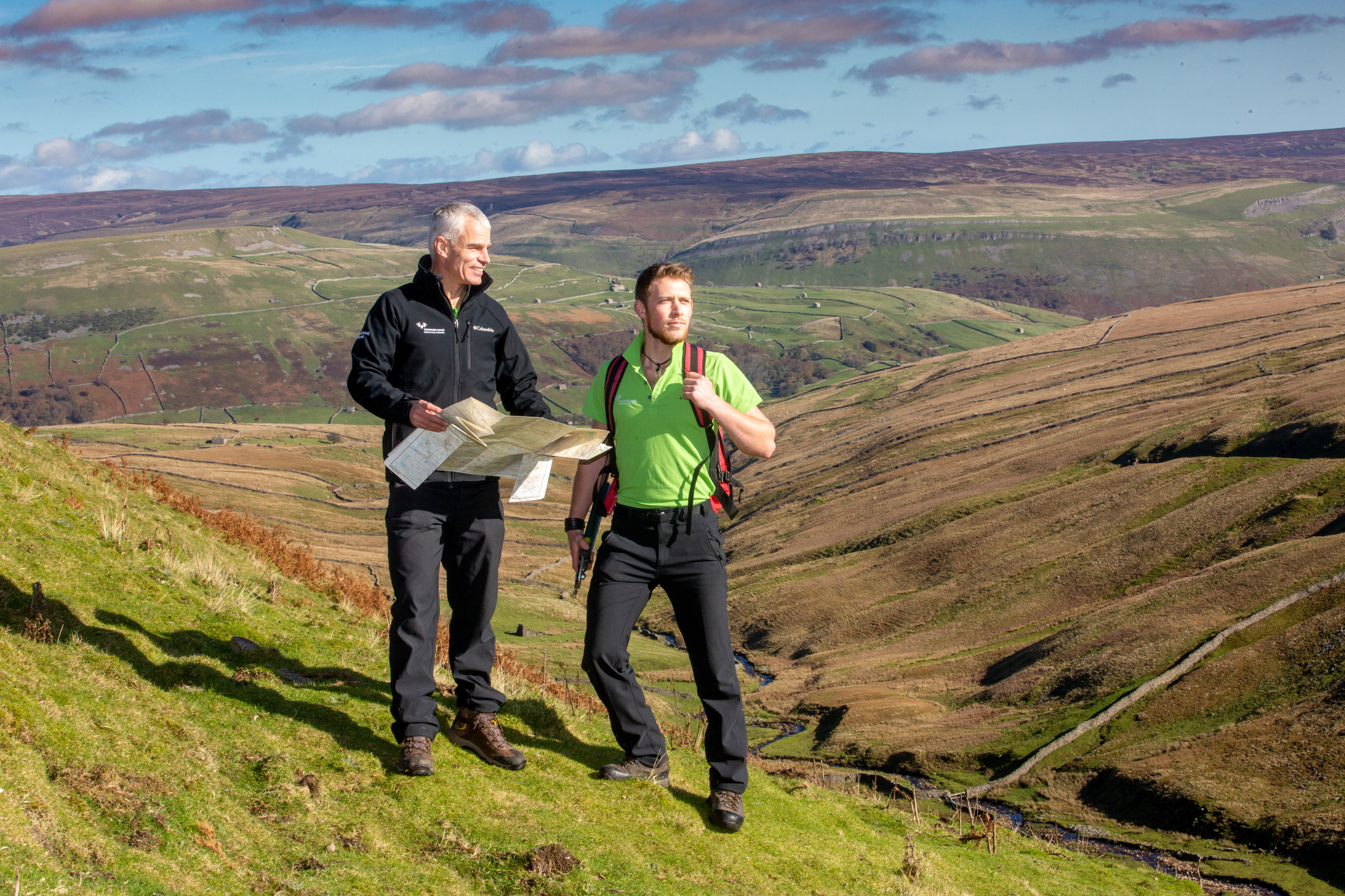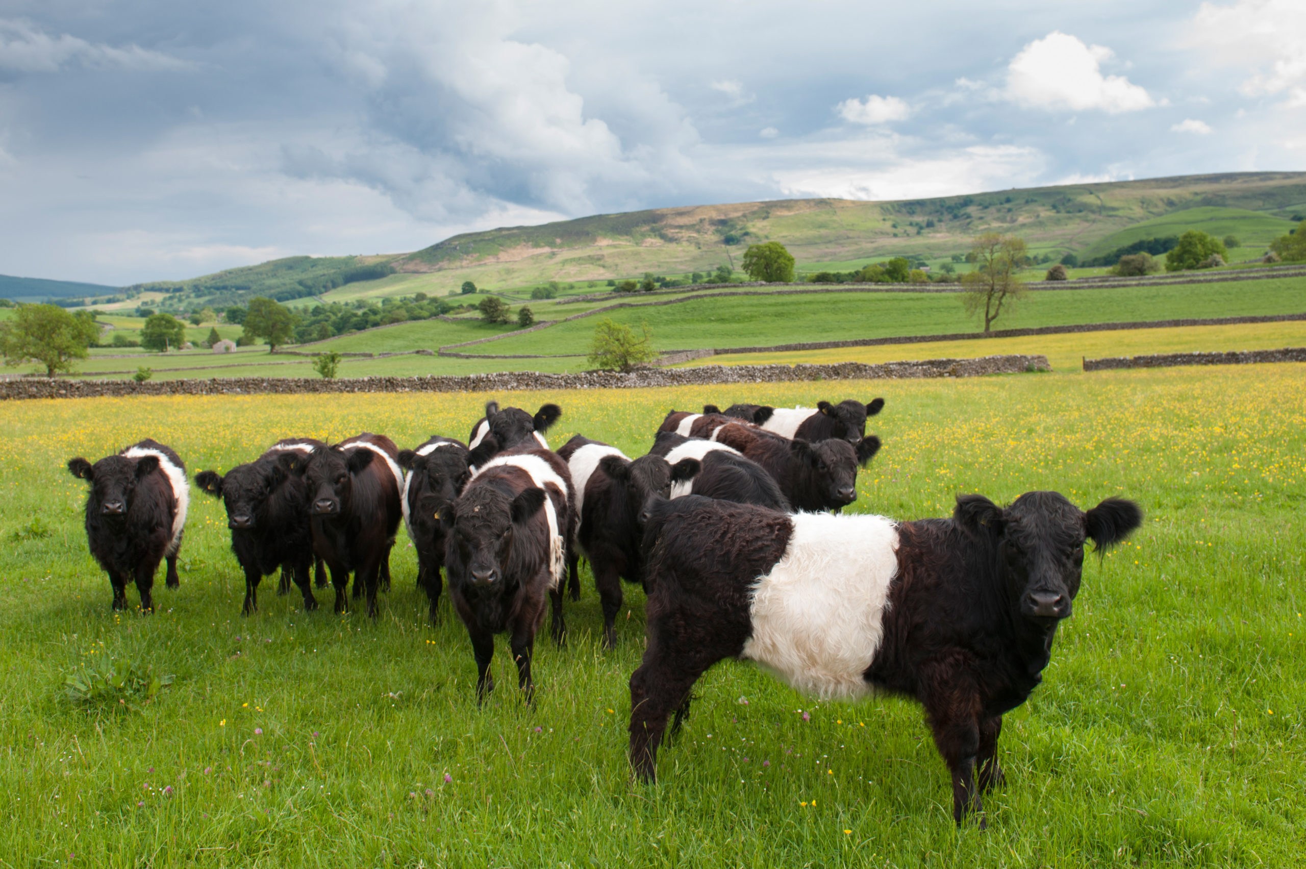
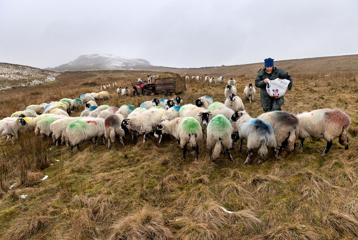
Within the National Park, livestock farmers over several centuries have created a traditional pastoral landscape – much of which survives today. The onset of climate change is likely to be a key influence on how this landscape is managed in the future, with changes to land and farm management systems likely as growing seasons and habitats change.
Potential climate change impacts include:
- changes in grazing patterns with increasingly dry conditions in limestone and hay meadow habitats and boggier conditions around rivers and streams;
- changes in use of land, with a switch from livestock to arable and forage crops such as maize. This would be most likely on the eastern edge of the National Park, affecting approximately 10% of the current productive farmland;
- livestock requiring more shelter – both for shade in the summer and from storms and wetter conditions in the winter;
- management changes being required on moorland, as a result of drier conditions and potential increases in the occurrence of wildfires.
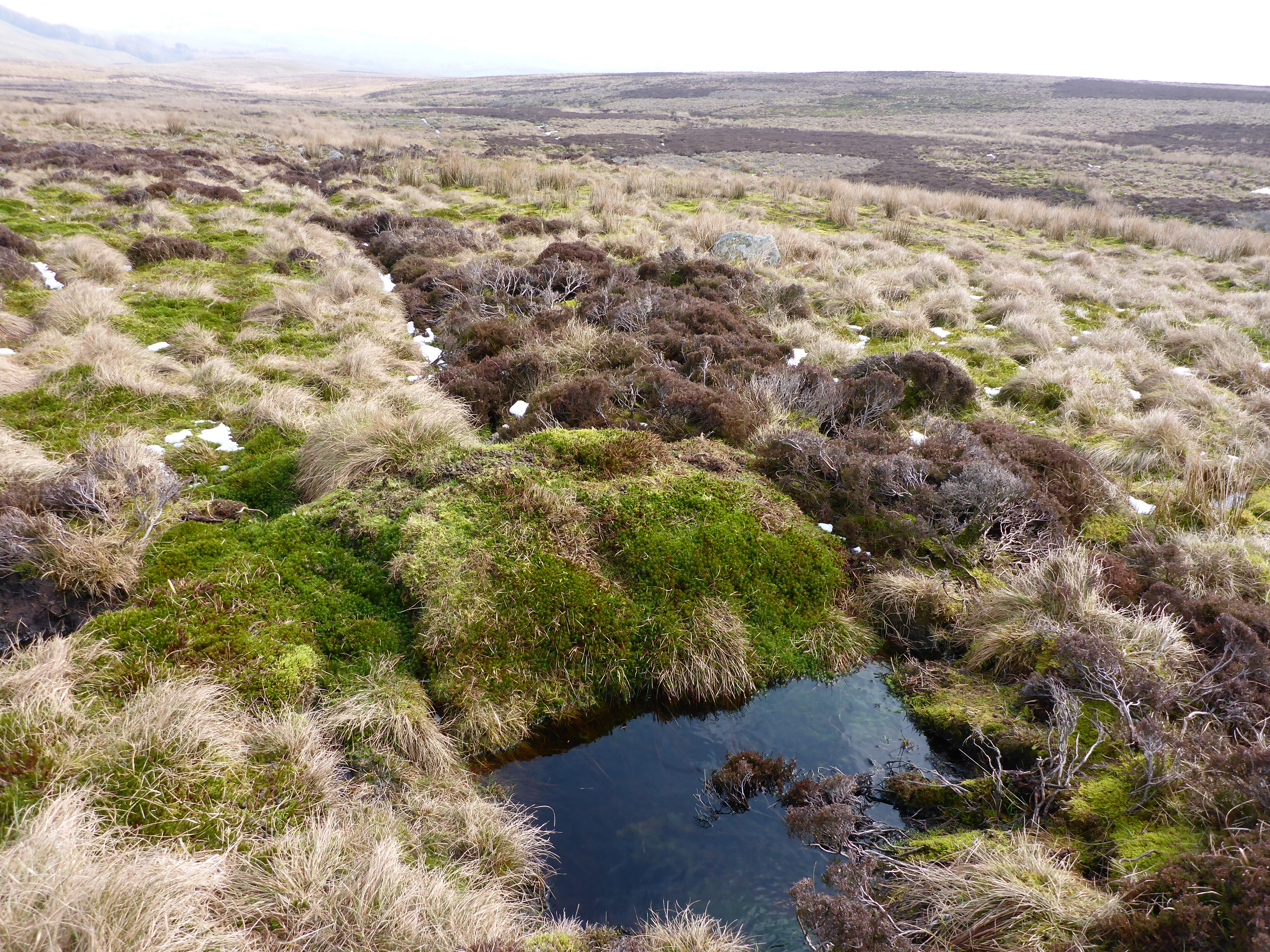
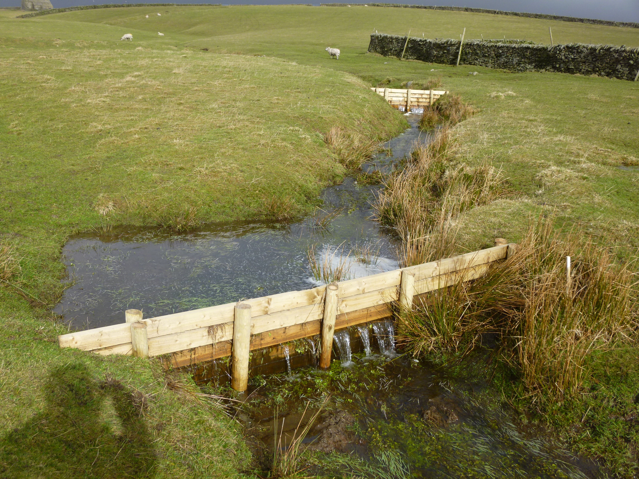
Farmers and land managers are being supported through the Farming in Protected Landscapes programme and the Catchment Sensitive Farming project to adapt to the impacts of climate change. The Yorkshire Peat Partnership is playing a key role in influencing management changes on moorland habitats that will help to retain water and reduce fire risk.
Learn more about our farming initiatives
Farm Carbon Toolkit
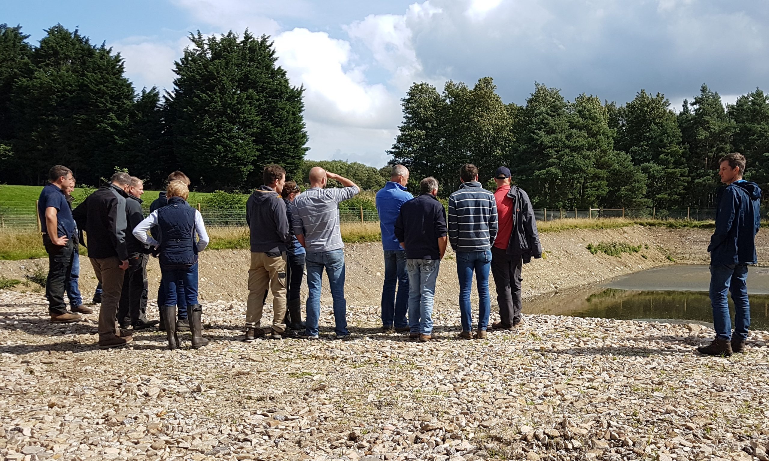
The Farm Carbon Toolkit worked with 15 farm businesses across the Yorkshire Dales National Park and Nidderdale AONB to help them calculate the carbon and other greenhouse gas emissions generated from their farms and develop an action plan on how they can reach net zero. The report was funded by the Yorkshire Dales National Park Authority, Nidderdale AONB, Yorkshire Water and the York and North Yorkshire Local Enterprise Partnership (LEP). View the full report below.
-
This document contains the end-of-project report for the Climate Friendly Farm Carbon Project, delivered for Yorkshire Dales National Park Authority (YDNPA) and Nidderdale Area of Outstanding Natural Beauty. It covers carbon audits of 10 farms, soil sampling, emissions and carbon storage. The report identifies opportunities to reduce emissions, improve soil health and increase carbon storage through better nutrient, livestock and grassland management. It also recommends continued monitoring, farmer support and a consistent approach to carbon measurement.
Please be aware that this summary has been generated using AI
-
This document contains a case study of Hill Top Farm’s transition from a sheep-based system to fewer sheep and more Belted Galloway cattle, alongside new woodland and hedgerows. It uses the Farm Carbon Calculator to compare emissions and carbon storage before and after these changes, showing a reduction from 270 to 178 tonnes of CO2e a year. It also models future soil carbon improvements and an alternative way of assessing methane, which could make the farm a net carbon sequesterer.
Please be aware that this summary has been generated using AI
-
This document contains a carbon footprint case study of West End Farm, prepared by the Farm Carbon Toolkit. It assesses the whole mixed farm’s emissions, carbon stored in habitats, woodland and hedgerows, and opportunities to improve soil health and reduce emissions. Livestock produces most emissions, while changes to grazing, forage and bought-in feed can lower the footprint; the report also models how maintaining livestock numbers and increasing soil carbon could move the farm close to net zero.
Please be aware that this summary has been generated using AI
Climate change impact on the landscape
The National Park’s landscape and its features – shaped by geology and natural processes as well as the interaction between people and nature have evolved over thousands of years. Climate change impacts are likely to continue to shape the landscape and the way we interact with it.
Potential climate change impacts include:
- gorges, waterfalls and river landscapes changing with drier conditions in the summer leading to, for example, loss of the ‘white water spectacle’ while wetter winter conditions produce more dramatic water features;
- higher levels of soil moisture and more flash flood events changing slope and soil stability with potential for more landslips and rock falls. Iconic features such as the Norber Erratics may be more at risk of damage;
- trees becoming more prevalent in the landscape with an increased demand for shade for livestock, shading of water courses, river bank stabilisation and potential development of the bio-fuel market;
- trees being affected by drought conditions – with increased tree losses especially in newly planted woodlands, and an increase in the prevalence of pests and diseases due to more damp, humid conditions;
- as buildings are adapted to climate change and incorporate mitigation measures for the future, changes to the built landscape are also likely.
Current and planned actions that will support the Yorkshire Dales’ landscape to adapt to climate change include the Farming in Protected Landscapes programme, Yorkshire Peat Partnership and the ‘Woodland Siting and Design Guide‘ and woodland management plans.
Climate change impact on communities and the local economy
The impact of climate change on communities, their culture and the local economy are likely to be experienced in relation to housing, energy and water use, as well as changes to employment opportunities and access to isolated communities.
Potential climate change impacts include:
- hotter summers and warmer winters affecting building design, with more demand for air conditioning and storm proofing measures for example;
- changes to domestic water supply levels, with an increased need for winter water storage to balance summer water shortages;
- changes to the characteristics of local economies – with more visitors in the summer, and more seasonal tourism patterns;
- increasing potential for alternative energy sources to be viable – for example, through hydro and solar power schemes.
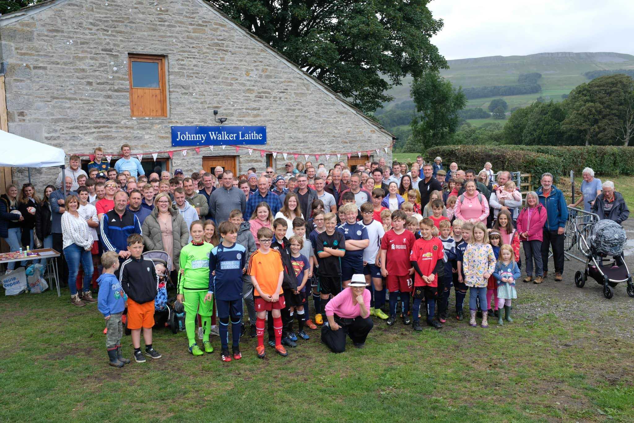
The primary responsibility for supporting communities and businesses rests with other bodies, like the local authorities. However, the Authority is providing additional support through the new Local Plan, which encourages development that is adapted to climate change, and local grant programmes like the Sustainable Development Fund.
Learn more about community and business support
Climate change impact on biodiversity
Climate change models predict different outcomes for biodiversity. It is impossible to be certain about the exact impacts that will be experienced. This is because interactions between different species, and between species and the habitats they occupy, are so complex.
However, there are some general impacts that are likely to affect species and habitats in the National Park:
- extensive areas of moorland containing important areas of upland heath and blanket and raised bog being affected by drier conditions, leading to peat shrinkage, and affecting the potential of these areas for carbon storage.
- more incidences of drought in upland hay meadows with habitats changing in structure, and an increase in more drought-tolerant species.
- changes to ground water resources and springs affecting species such as bird’s eye primrose, rigid buckler fern and globeflower, which rely on lime-enriched conditions.
- changes in the range for species to thrive – for example, species such as Arctic Juniper, which currently reaches its southern limit in the National Park, retreating northwards, and an increased prevalence of non-native species and southerly species that are no longer confined to their existing range.
- in drier summers, increased biological respiration and lower dissolved oxygen content in streams affect species such as white-clawed crayfish; aquatic moss; liverworts and stonefly.
Current and planned local actions that will support the Yorkshire Dales’ biodiversity to adapt to climate change include:
- the Wildlife Rich Habitat fund;
- Farming in Protected Landscapes programme; and
- the work of the Yorkshire Peat Partnership.